All LGUs in the province of Quirino appreciate the importance and favorably agreed on the establishment of groundwater monitoring network as a pre-requisite to the development of water-related problem interventions and comprehensive water resources plan for their municipalities
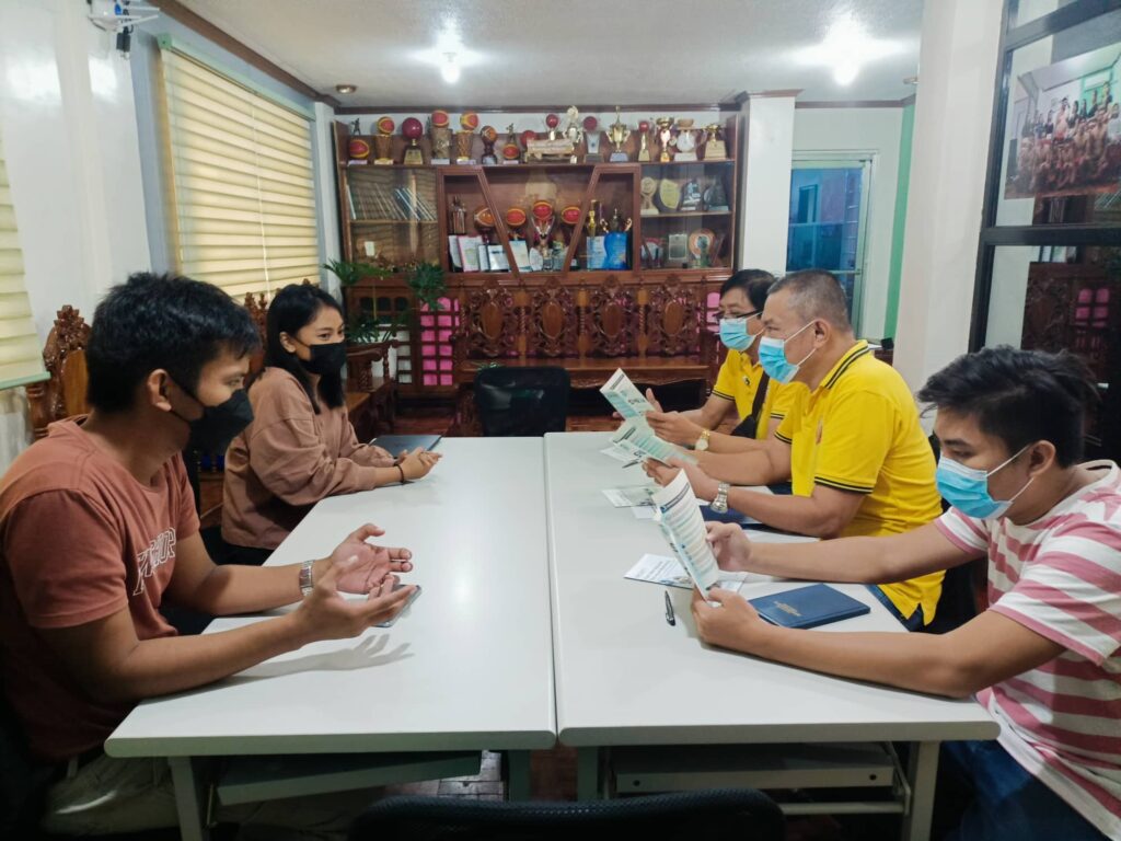
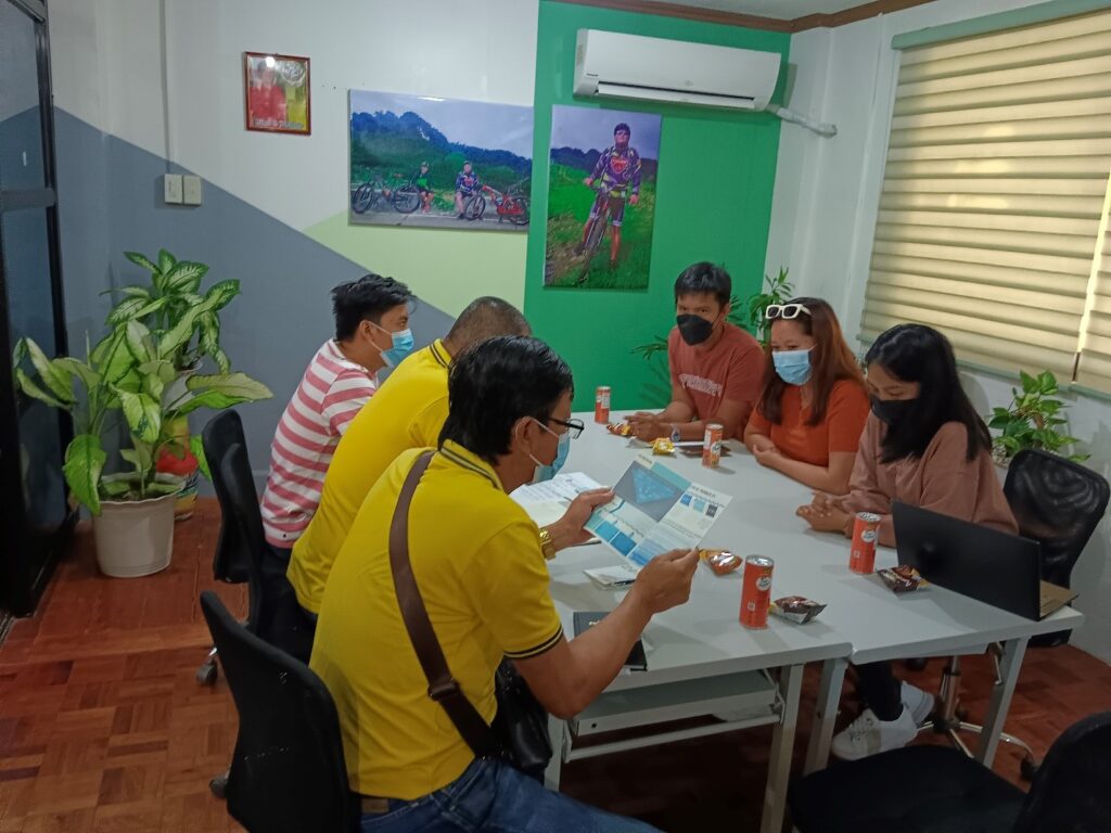
The Smart Water Infrastructure and Management (SWIM) Project staff led by Engr. Czarimah Singson, along with Engr. Cesar Ramirez and Engr. Christine Gay Liberato, had successful meetings with all the Local Government Units of Quirino province for the briefing and coordination of the series of project activities. Afterward, the aforesaid group decided to conduct a georesistivity test as the next phase of the project implementation to survey potential sites for groundwater monitoring well establishments. Once the depth of a good aquifer is identified, an observation well will be placed on the site for the monitoring of groundwater quantity and quality.
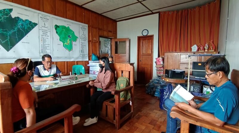
The province of Quirino favorably agreed to have its own groundwater monitoring network from all its six (6) municipalities, namely Cabarroguis, Diffun, Aglipay, Maddela, Nagtipunan, and Saguday. The LGUs will fund the establishment of the monitoring wells while the SWIM project will provide the groundwater monitoring system. This groundwater monitoring system will be used by the SWIM project as source of data for the development of water-related problem interventions and comprehensive water resources plan for the municipalities. The Municipal Planning and Development Chair (MPDC-Nagtipunan), Engr. Rogelio D. Abalus Jr., promptly planned with the team to select the potential sites for the monitoring of well.
While most municipalities seek for Memorandum of Agreement (MOA) and still need further approval from the Sangguniang Bayan (SB) Members especially in terms of their counterparts, some Mayors and LGU key personnel can immediately perceive the significance and sustainability of the project. Nowadays, homes or municipalities can no longer reasonably provide for themselves from the subsurface reserves beneath their feet because of the rising frequency of flooding or extended drought. Thus, better groundwater resource mapping, monitoring, and planning are needed than ever before to be ready for this situation. However, for some or perhaps none in the region has groundwater monitoring station; only the 17 gauging sites for surface water exist.
For the key personnel from Quirino, action is required to recharge aquifers in various ways and determine water quality among other things. When the staff presented the project outcomes, the community partners anticipated that the project could serve as a solution to water-related hazards they experience and that they can obtain information on the hydrologic stresses occurring on aquifers and how these stressors affect the groundwater recharge, storage, and quality of outflow supply. Finally, to ensure that the groundwater can be used continuously, numerous policies and regulatory measures will be included in the output with real-time data and quality status upon the completion of the project.
Sometimes, the relevance of ground water data in the analysis of water quality or contamination issues may be underappreciated, but truth continuously unfolds the importance of water quality in the lives of people in the community.